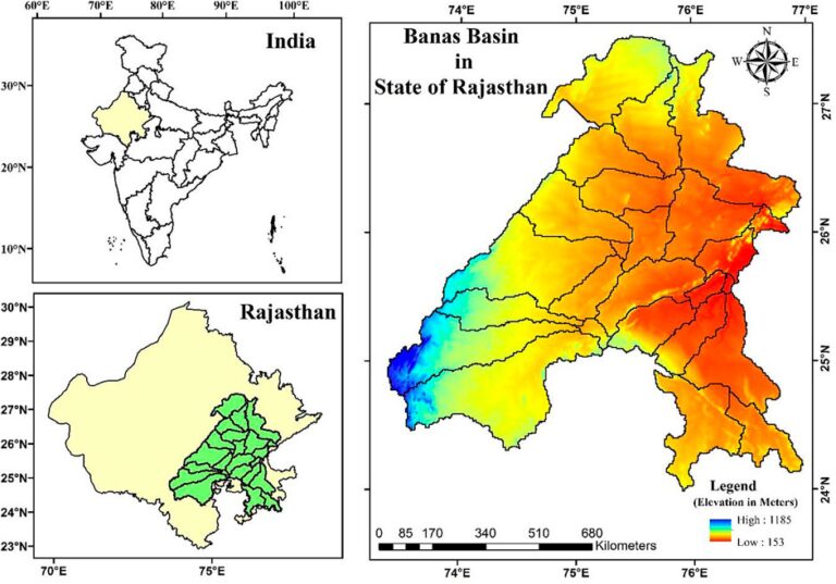
The article discusses the critical issue of land degradation and soil erosion, particularly in the Banas River Basin in Rajasthan, India, which affects agricultural productivity and food security. Land degradation globally impacts crop yield, causing significant economic losses, especially in Asia. In India, soil loss from erosion is predominantly driven by rainwater and wind, contributing to decreased GDP and increased poverty.
The study employs the Revised Universal Soil Loss Equation (RUSLE) integrated with Geographic Information Systems (GIS) and remote sensing to assess soil loss in the Banas Basin. The region is vital due to its diverse climate zones and reliance on its seasonal river. The methodology includes the derivation of several factors affecting soil erosion, such as rainfall erosivity, soil erodibility, and land cover.
Results reveal significant soil loss across various watersheds within the basin, with the highest erosion rates found in locations where land use practices change abruptly and where slopes are steep. The study categorized soil loss severity and prioritized watersheds for conservation practices, emphasizing the need for targeted intervention in the most affected areas to mitigate water erosion.
The findings highlight the importance of integrating advanced modeling techniques for efficient soil loss estimation and planning conservation measures, ultimately aiding policymakers and land planners in sustainable land and water resource management.


